Mapping and Modeling
Project updates and measurements just got simpler.
Are you starting a new construction site and need to show investors progress of their money being spent? Did one of your sub-contractors deliver the right amount of dirt or gravel? Do you have specialized equipment that needs to be looked at by a specialist, but don’t want to pay for travel and expenses for a team of engineers to then climb an electrical tower? Historical building to archive?
Drone maps and models can give you accurate volumes, areas and measurements for inspections and progress updates though. They can also give you a first look at a site to see if you want to then send the Land Survey Engineers out.
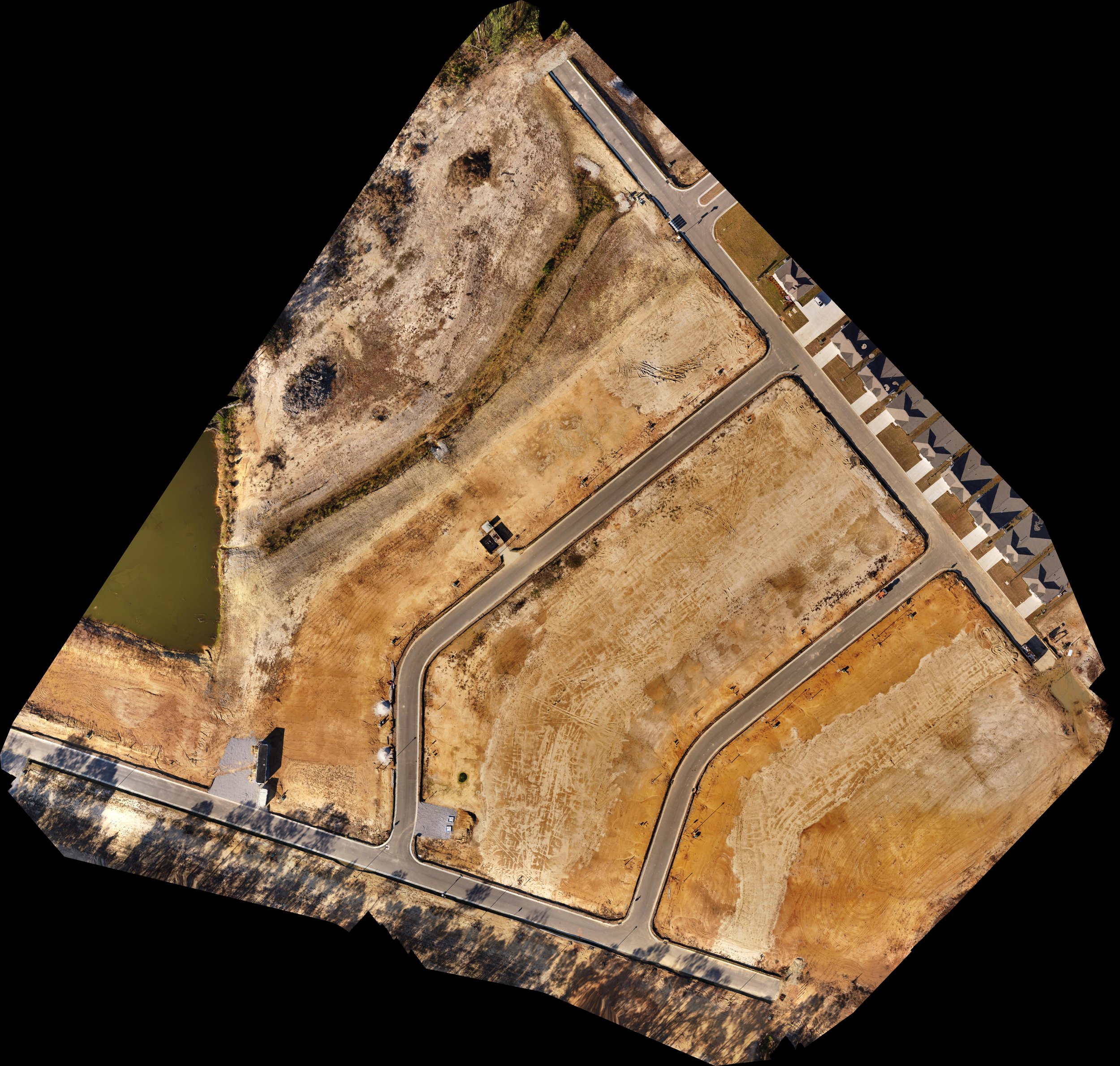
Orthomosaic Maps (2D)
Do you like those blurry images on Google Maps or Google Earth? They are pretty cool, but whats better is details…up to date details! An orthomosaic map can give you details that lets you see not just the gravel in your driveway, but how much! Get accurate areas measured, and volumes of stockpiles figured out from a great orthomosaic map. Are you a Contruction company needing to provide EPA updates for waste water run-off? Yeah, we do that too!
Do you have a stagnant water or runoff problem? Look at the various elevations affecting your land. See and plan the best way to handle your unique situation. Measure out how much of an area needs to be removed or filled in so that you can get accurate cost estimates for the work to be done.


